New Zealand is known for its stunning natural beauty. And, I promise, a visit to this country ‘down under’ will not disappoint! One of South Island’s most scenic gems is Aoraki/Mount Cook National Park. The Park contains 19 peaks over 3,000 meters (9,842+ ft.) including Mt. Cook – New Zealand’s tallest mountain!
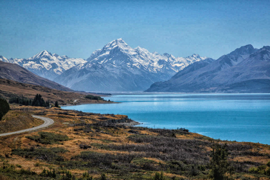
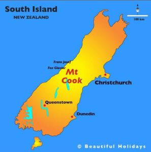
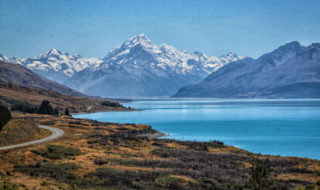
The photo (at the top) is the alluring view as you approach Aoraki/Mount Cook National Park. Like everyone, you must stop to take a photo at “Peter’s Lookout.” The beautiful alpine lake – Lake Pukaki – glistens an almost surreal turquoise blue. Just beyond, majestic Mt. Cook (center of photo) looms large, welcoming you to its special mountain paradise in New Zealand’s Southern Alps! (see map)
I spent two wonderful days/nights in Mt. Cook with my group of fellow explorers in February 2015. We did a variety of fun & interesting things, which I wrote about in a separate blog post – 6 Must-Do Experiences in Mt. Cook.
However, I want to dedicate an entire post to my favorite Mt. Cook activity – the stunningly beautiful “Hooker Valley Track.” This ‘track’ is considered one of New Zealand’s best day hikes!
Hooker Valley Track – A Real Hiking Gem for Everyone
There are many reasons for this well-deserved acclaim. First, the scenery is gorgeous the entire way. There are glaciers, glacial lakes, lush valley meadows, and flowing rivers crossed by suspension bridges. And, better yet – this 6-mile (10km) round trip walk/hike is FLAT! That means it’s available to almost anyone. How great to experience beautiful alpine scenery without needing to be Mr. or Ms. Mountaineer or UberHiker!
Photos are definitely the best way of telling this story. So, put on your hiking shoes & come along with me on the “Hooker Valley Track.” I’ll show you why you need to put Aoraki/Mt. Cook National Park & this amazing walk on your to do list when you visit New Zealand.
To clear up any confusion, it’s good to know that Kiwis (aka New Zealanders) call their hiking/walking trails “tracks.” At the bottom of the post, I’ll also include a few photos of a much more strenuous hike – the Sealy Tarns Track. Four members of my group did that hike, while the rest of us were enjoying the more leisurely Hooker Valley Track. Okay, let’s get started!
Hooker Valley Track – Our Photo Journey Begins
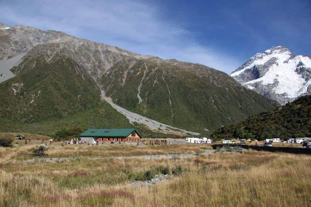
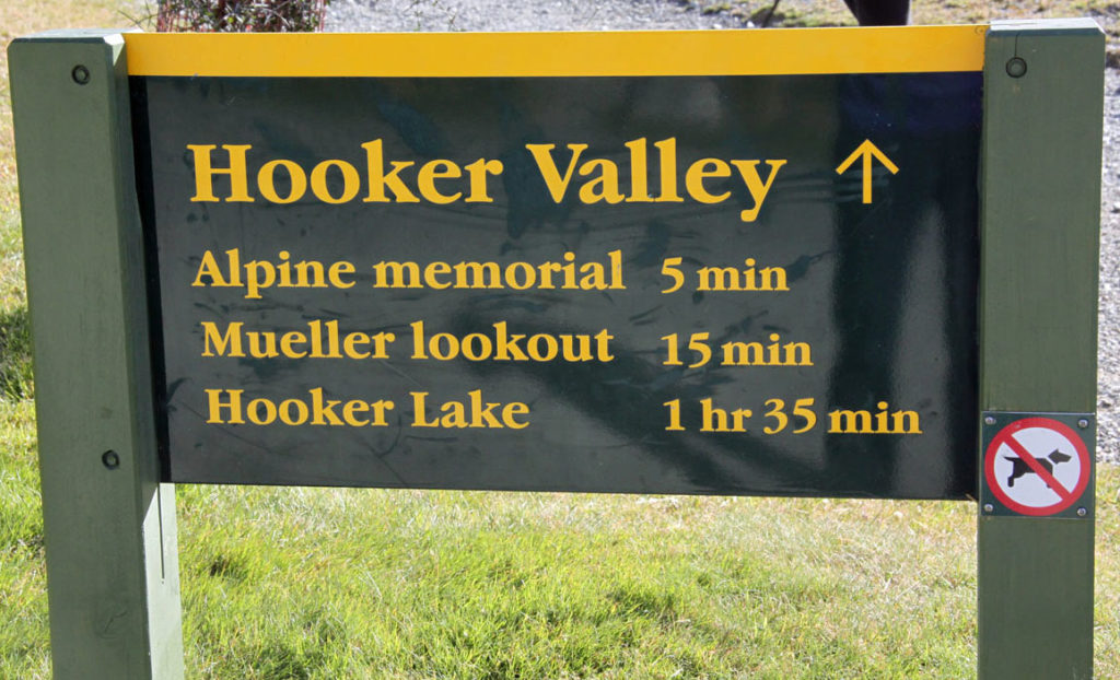
The hike begins at the White Horse Hill Campground and car park. It’s a short distance from Mt. Cook Village where you will be staying. Snow-covered Mt. Sefton is visible on the right.
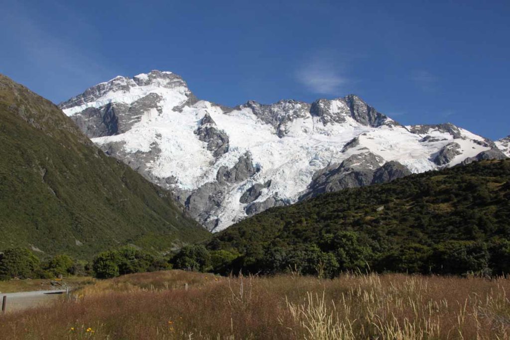
A better view of Mt. Sefton (elevation – 10,338 ft.) from the trailhead area. As you will see, we were blessed with clear, sunny weather for our hike.
We’re off! Yes, this 10km/6-mile round trip hike takes around 3-4 hours. However, that includes lots of stops for photos and “quality time” at Hooker Lake – the final destination where I spent a full hour enjoying the views!
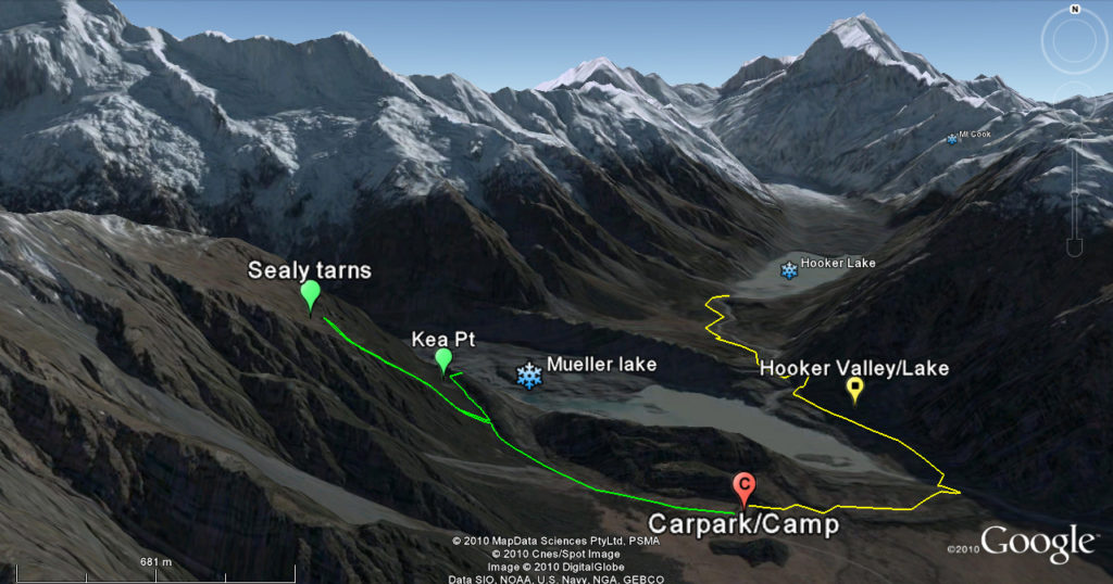
This very good map shows the Hooker Valley Track in yellow – passing around the first lake (Mueller Lake) and continuing on to Hooker Lake. The more “vigorous” Sealy Tarns Track is in green.
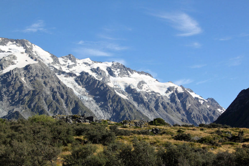
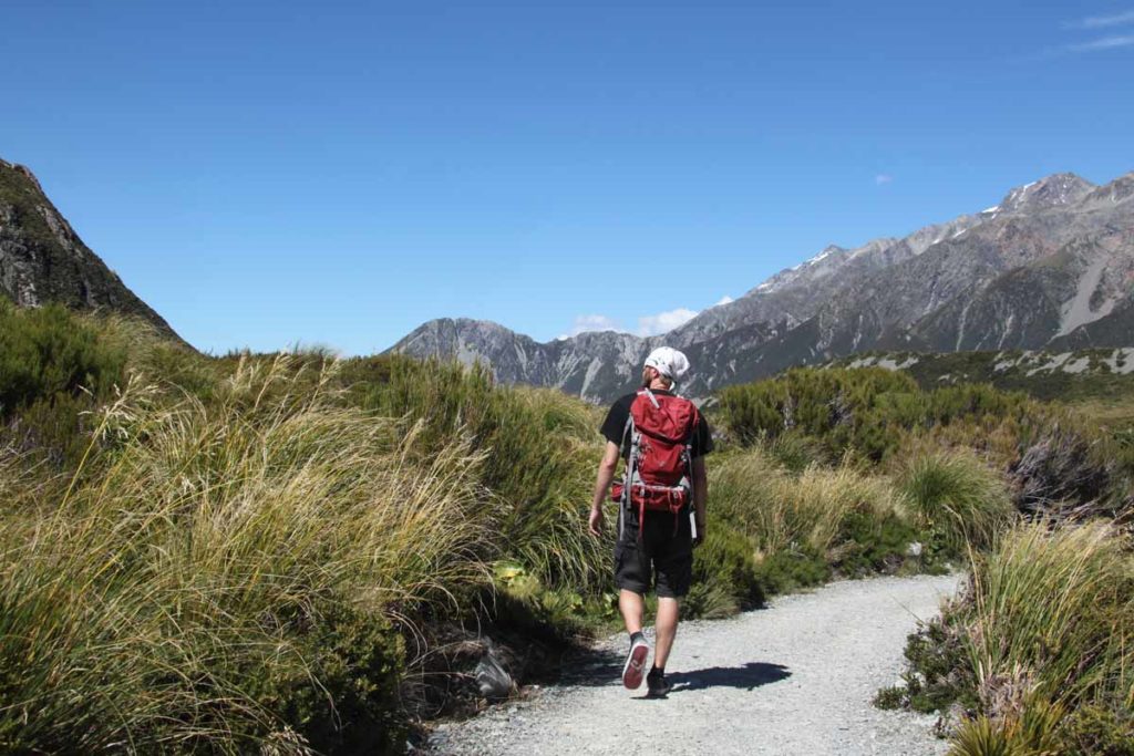
More beautiful mountain scenery as we begin our hike (aka walk).
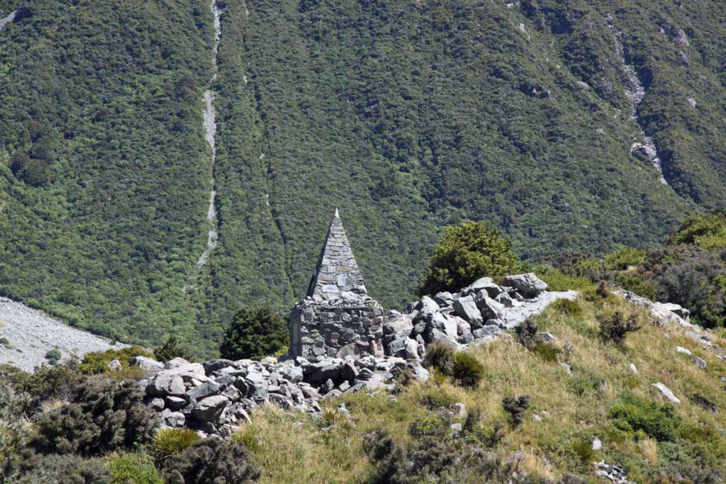
The Alpine Memorial is near the start of the track. It honors mountaineers who have died in the Mount Cook National Park over the years.
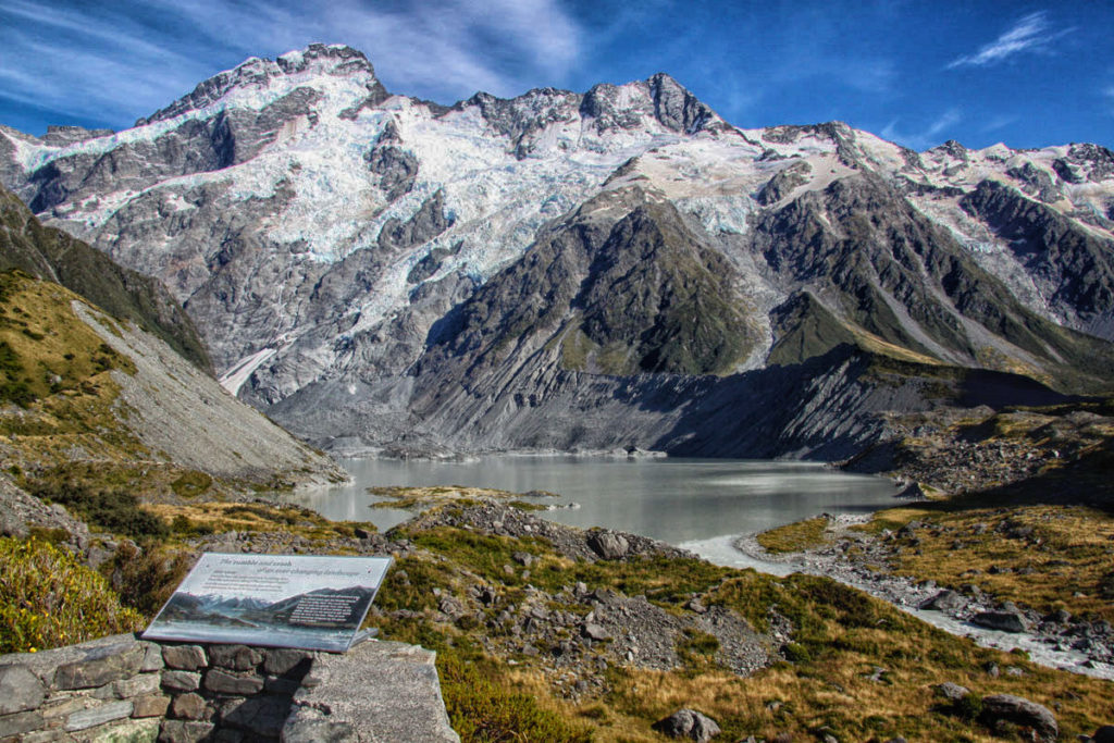
This view from the Mueller Lookout is of the beautiful proglacial lake formed by the Mueller Glacier. The lake water flows out to join the Hooker River (lower right).
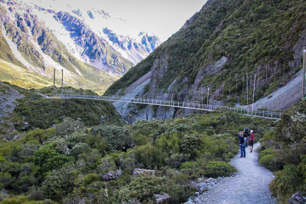
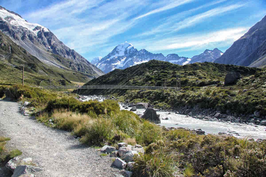
This is the first of three suspension bridges (aka “swing bridges”) that you will cross. I took this photo from the Mueller Lookout. The river is the one you can see in the Mueller Lake photo above.
Another view of the first swing bridge – in such a beautiful setting.
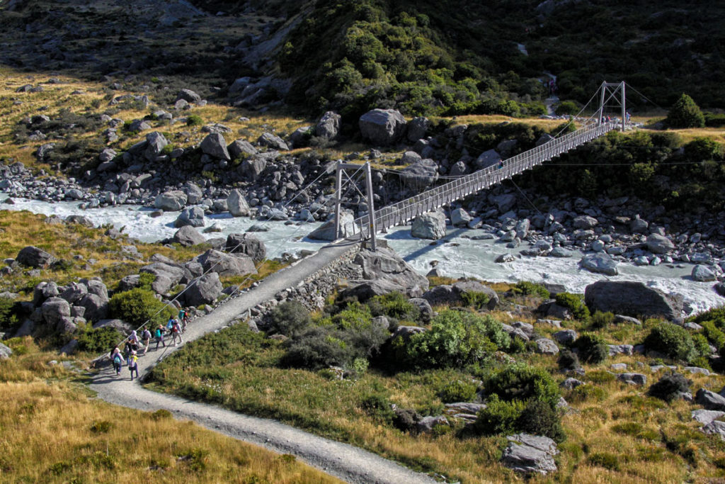
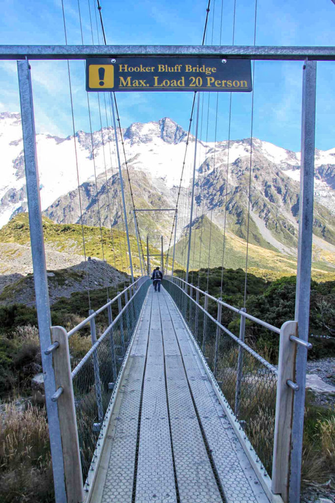
This is the second swing bridge – named Hooker Bluff Bridge – which crosses the Hooker River before it flows into Mueller Lake.
The swing bridge is fairly long and in Kiwi-style, solidly built! Luckily, it does feel solid and is not too high above the water. So, for people, like me, with a fear of heights & of shaky suspension bridges, it’s not bad at all! The three wooden suspension bridges were upgraded in 2015.
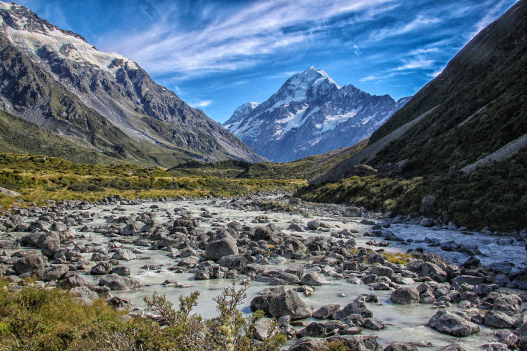
You soon pop out into the beautiful Hooker Valley with the flowing Hooker River in the foreground. It’s also your first view of Mt. Cook on the hike – which is visible the whole second half of the hike!
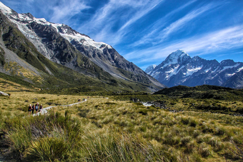
The beautiful Hooker Valley & its meadow filled with alpine tussock grass.
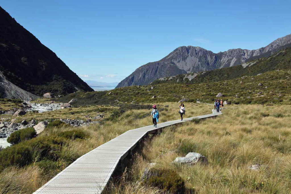
This part of the valley/meadow walk is on wooden boardwalks to protect walkers from swampy sections below. (For orientation – we’re looking back in the direction from where we started).
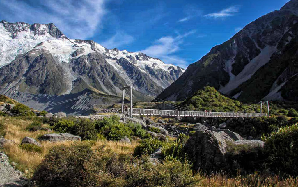
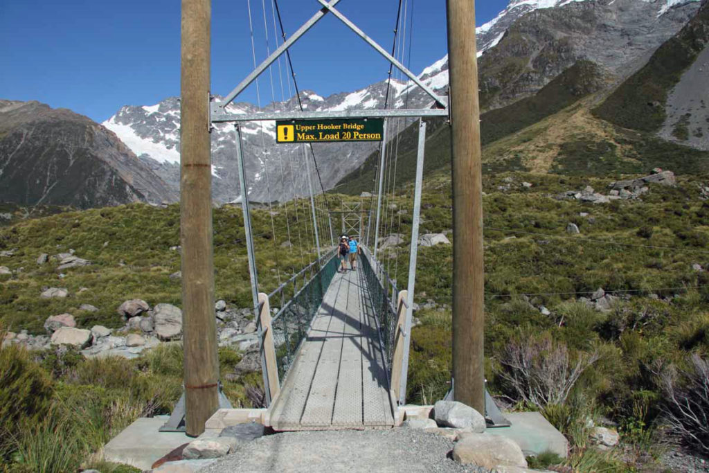
Here’s our 3rd and final swing bridge over the Hooker River – the Upper Hooker Bridge.
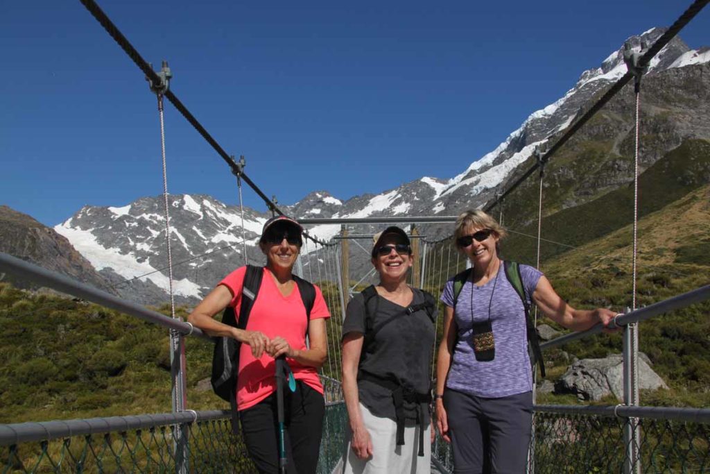
My friends & I posing on the bridge – with the beautiful mountain backdrop.
Another view of the Upper Hooker Bridge.
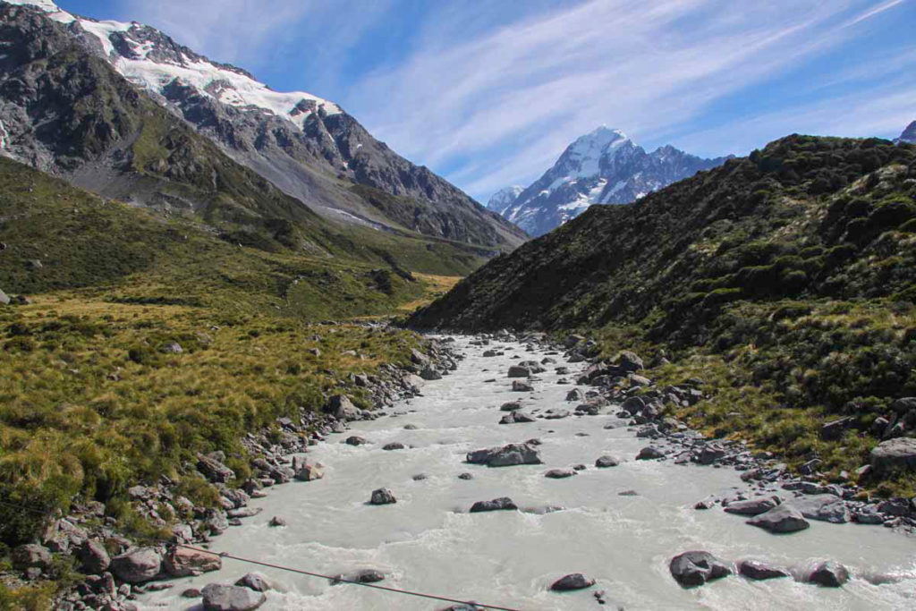
The view upstream of the Hooker River from the 3rd bridge. We’re getting really close now!
The final section of the hike skirts the tall rocky moraine of the Hooker Glacier. Our destination – Hooker Lake – is just at the top of this hill!
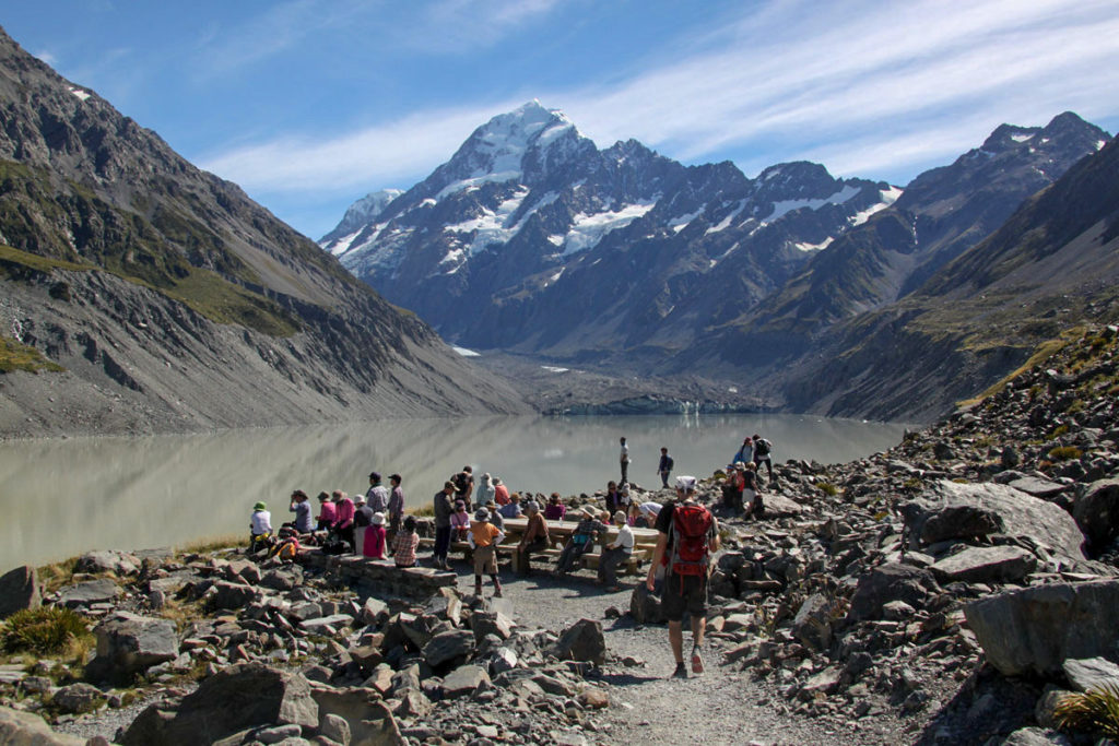
Voila – we have arrived at the Hooker Lake lookout point! It’s a great place to chill for a while and enjoy the stunning views. Or perhaps pull out your lunch or a snack and take advantage of the picnic tables.
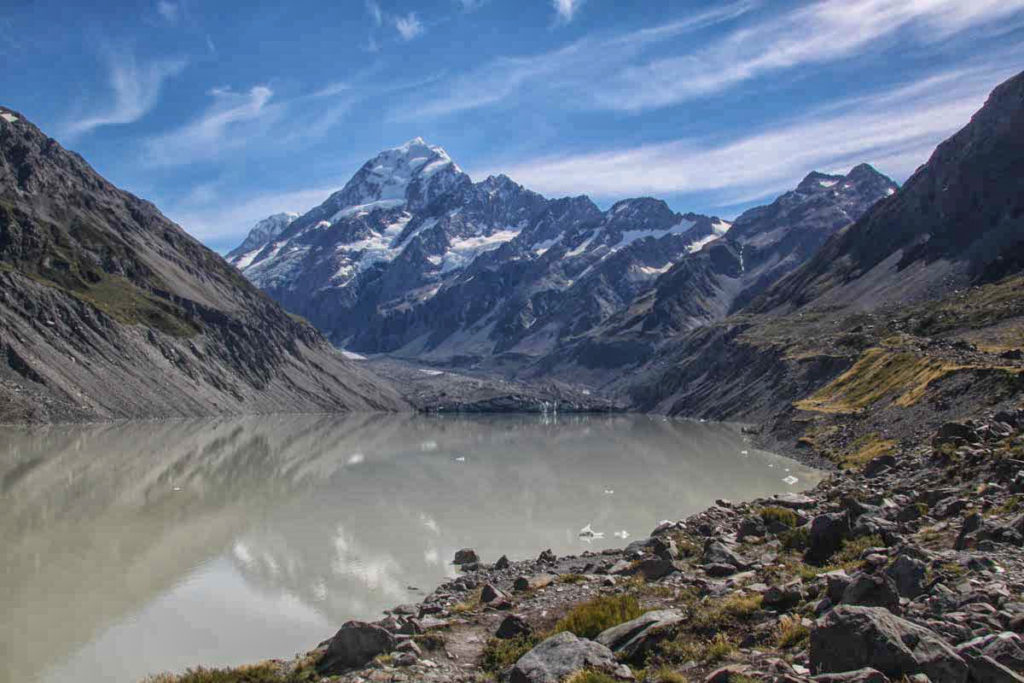
A non-peopled view of beautiful Hooker Lake & the terminus of the Hooker Glacier (in the center). This serene scene is watched over by Mt. Cook, New Zealand’s highest peak at 12,218 ft. (3,724 metres). In fact, this lookout point is the closest any walking track comes to Mt. Cook.
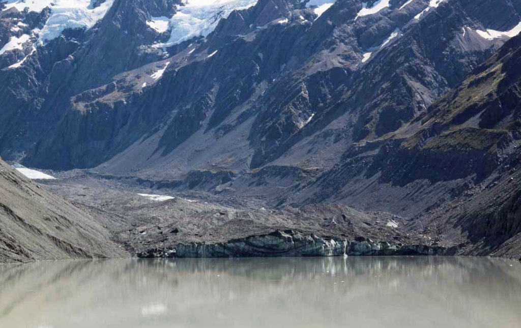
Here’s a closer view of the Hooker Glacier terminus. I was surprised just how “rocky” the glacier was. The “moraine” sitting on top of the ice is the accumulation of dirt and rocks that have been pushed along by the moving glacier. Wow, a glacial rock pile!
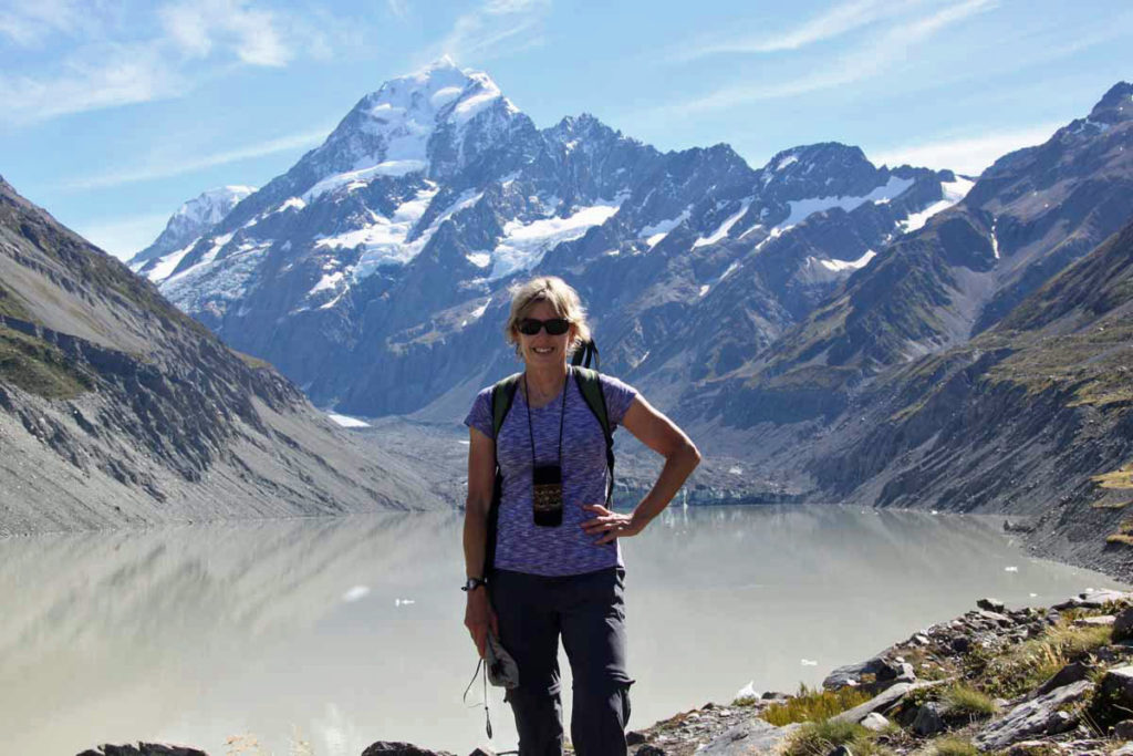
Of course, another must-do activity is getting your photo taken in front of Mt. Cook & Hooker Lake. It was also exciting to look up at Mt. Cook and think that Sir Edmund Hillary (a Kiwi!) trained here for his successful Mt. Everest climb in 1953.
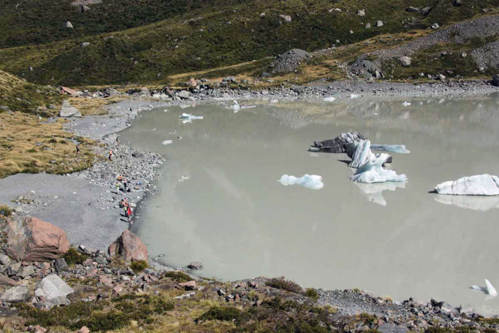
What’s also fun – and a must do – is to take the short path down from the lookout point to Hooker Lake’s rocky shore below. Here you will have a good vantage point from which to check out the different floating icebergs which have broken off from the Hooker Glacier. They can be seen during the summer months. (Remember that New Zealand seasons in the Southern Hemisphere are reversed from us folks up north!)
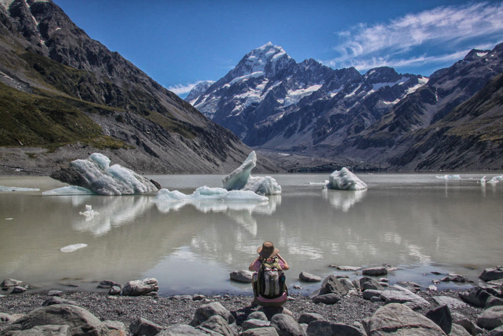
This is one of my favorite photos – an idyllic scene of Hooker Lake, its floating icebergs of all shapes & sizes, and regal Mt. Cook rising above it all. It also helped that this woman in pink (taking a photo) was perfectly situated for my shot!
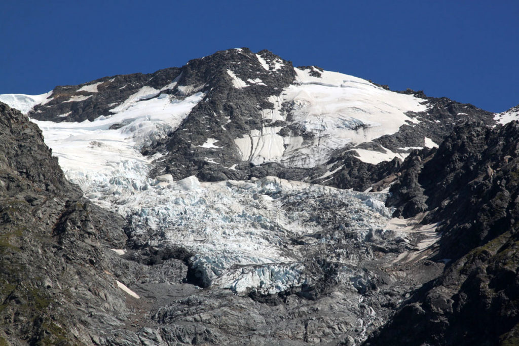
In the same area, we got a good close-up view of this snow & glacier-covered mountain – which is typical of what you see all throughout the Aoraki/Mt. Cook National Park.
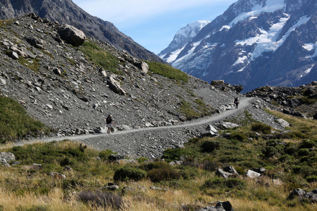
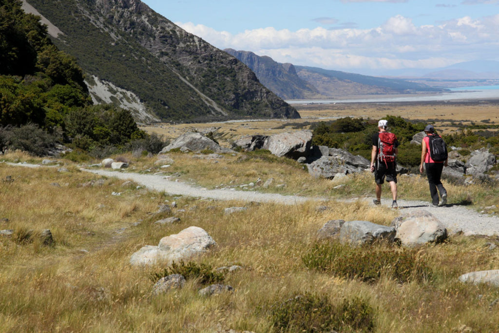
After a glorious hour enjoying Hooker Lake & Mt. Cook views, it was time to retrace our footsteps and head back – enjoying a second view at the pretty scenery along the way. Much of the track was well-groomed gravel like this.
View of the valley below as we were half-way home. The Hooker Valley Track’s entire change in elevation is 124 meters (406 feet). This really is a flat hike – which is why it can be walked by visitors with a wide range of fitness levels!
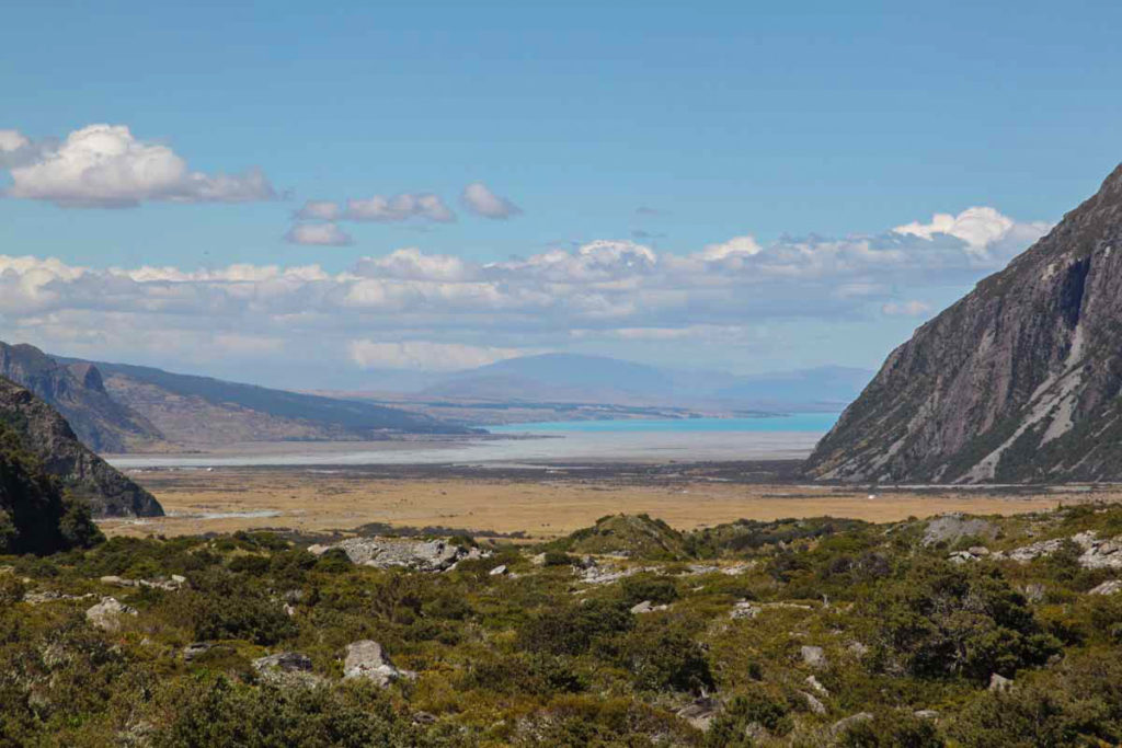
Closer view of the valley below with the famed-blue Lake Pukaki visible in the near distance. Only a few minutes more to go before we reach the car park and the end of our hike. Meanwhile, checking in on my other friends…
Sealy Tarns Track – Steep, Strenuous & Scenic!
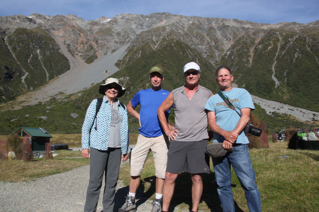
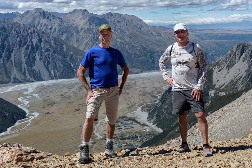
Here’s my 4 hearty & brave friends who opted for the more strenuous Sealy Tarns Track. The photo was taken at the start of the hike, while they were still fresh. And, yes, they did survive, but said it was quite the workout!
The Sealy Tarns Track – above in green – begins at the same car park as the Hooker Valley Track. The trail starts out gently and then gets steep – very steep! Numerous wooden staircases (or steps) are built into a zig-zagging course up the mountainside. In fact, there are 2,200 of these steps! My friends verified this fact.
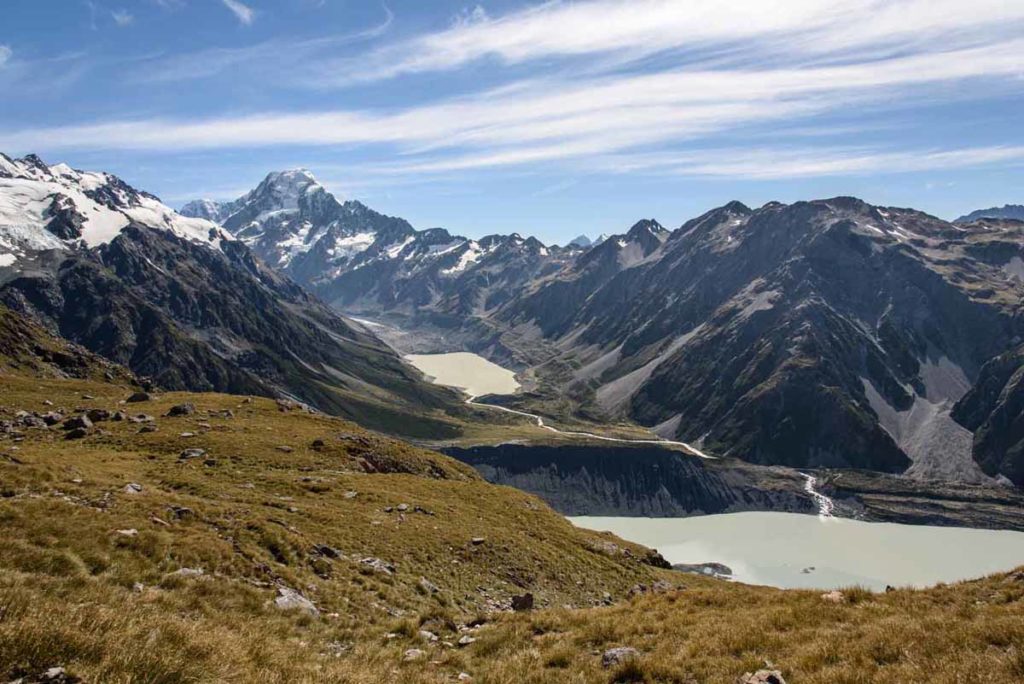
The Sealy Tarns track might be quite a vigorous (aka exhausting) workout but it will give you incredible views like this! With my fear of heights, I’m personally glad I didn’t go but I will admit the views look amazing. The track’s elevation gain is 547 meters / 1,795 feet.
This “aerial view” from the Sealy Tarn Track shows the scenery of the Hooker Valley Track below. The Mueller Lake is in the right foreground & the Hooker Lake is above in the middle. Plus, you can easily see the route of the Hooker River, as it flows from Hooker Lake into Mueller Lake.
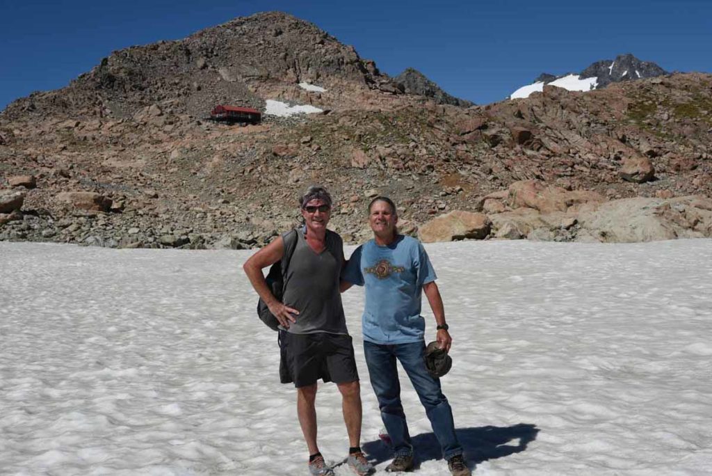
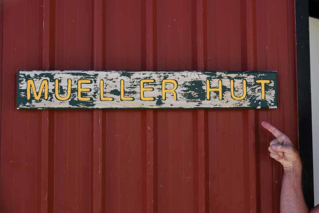
My intrepid crew not only hiked up the mountain to Sealy Tarns, but they continued quite a ways further to the Mueller Hut (above in red). It’s another 2 1/3 kilometers and a 500 meters (1640 ft.) elevation gain. Impressive!
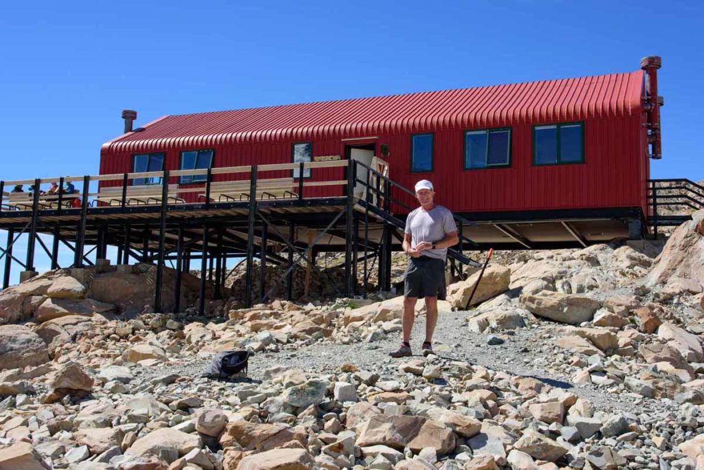
Close-up of the bright-red Mueller Hut, which is operated by New Zealand’s Department of Conservation (DOC). It has 28 bunk beds for overnight stays. Perhaps, the red makes it easier to find in a blinding snowstorm?? Personally, I will never know!
Final Remarks & Helpful Resources
Congratulations: We have returned victorious from our hikes! I hope you enjoyed this little romp – aka “tramp” in Kiwi-speak – through the majestic beauty of Aoraki/Mt. Cook National Park. Have you added a visit to Mt. Cook and a Hooker Valley Track to your travel wish list?
Here are a few additional resources & websites that might be helpful:
New Zealand has an excellent Department of Conservation (DOC), which is similar to the U.S. National Park Service. They maintain all the hiking trails (tracks) and Huts for overnight stays.
- DOC Info on Hooker Valley Track
- DOC Info on Sealy Tarns Track
- DOC Info on the Mueller Hut
- Good article on the Sealy Tarns Track by Hike Speak
Want other must-see recommendation while touring New Zealand? Check out my other blog posts:
- Mt. Cook – New Zealand’s Alpine Wonder: 6 Must-Do Experiences
- New Zealand’s Fox Glacier Heli-Hike: A Breathtaking Adventure
- New Zealand: Black Water Rafting Through Waitomo’s Glow Worm Caves
COMMENTS: Have you been to New Zealand and visited Mt. Cook National Park? Have you taken the Hooker Valley Track? If not, have you added this to your list?


Beautiful write up. It will give me and my family courage to visit Hooker Valley Track
Thank you Sandy for the nice comment. I’m glad to hear you will consider Hooker Valley Track – I know you won’t regret taking that short and beautiful walk/hike.
Loved the photo display – 2003 we stayed overnight at the motel and started on the track – stopped midway over the first bridge (severe phobia of heights) and missed the rest. Lovely to see you pictures and great memories. We did go to Franz Joseph Glacier and climbed about on it for awhile – but due to age (78 and 74) and bad knees – she wanted to go on but I could not) – Spent 6 months there and travelled every weekend – North – South – Stewart Islands and saw some of most of the things one could work in during that time – MEMORIES – they flood back as I watched your photo display – THANK YOU and God Bless. Glow-worm caves were phenomenal.
Thanks so much for writing Tom and sharing your wonderful memories from 2003. Yes, New Zealand is an amazing country with so much to see! Glad my photos helped fill in the part of the track that you missed. I too have a bit of a fear of heights so these suspension bridges can be challenging for me too! And, yes, the glow worm caves were super. I did write a blog post about that experience.